
Welcome to our Remote Sensing and GIS Blog.
Whether you’re a seasoned professional or just starting out, our earth observation blog will explore the tools, trends, and techniques that are changing how we see, analyse, and respond to the world around us.
Welcome to the Swift Geospatial Earth Observation Blog – your go-to space for insights into the ever-evolving world of geospatial technology. This earth observation blog is designed to bring clarity and understanding to the current issues shaping the fields of GIS, satellite imagery, and the practical applications of Earth monitoring.
 August 11th, 2025
Swift Geospatial combines Planet’s daily 3m satellite imagery with advanced change detection technology to deliver near real-time monitoring of illegal mining. This solution enables early detection, rapid response, and reliable evidence for enforcement, protecting resources, reducing environmental damage, and cutting financial losses. Scalable for single sites to national coverage, it provides security companies, mining operators, and government agencies with the actionable intelligence needed to prevent illegal operations before they escalate.
 July 23rd, 2025
Encroachment into linear servitudes is a growing risk for South African infrastructure. Swift Geospatial’s GIS monitoring solutions help detect unauthorised activity early, maintain legal compliance, and protect critical assets across powerlines, pipelines, railways, and fiber networks.
 July 3rd, 2025
Urban tree count is becoming essential for modern cities. This article explains how GIS and satellite imagery help track, monitor and manage urban forests at scale.
 May 22nd, 2025
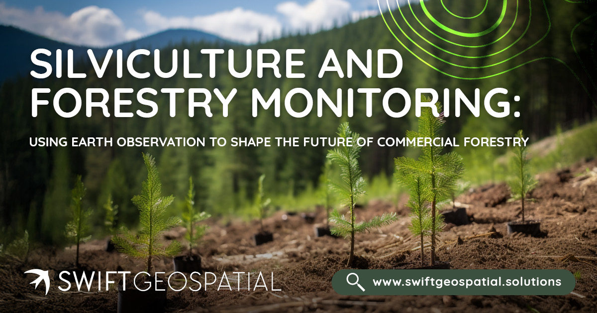
Silviculture is essential to commercial forestry, but when paired with Earth Observation and GIS, it becomes a powerful tool for precision forestry monitoring and sustainable forest management. Swift Geospatial helps forestry teams make better decisions, track regeneration, and ensure long-term forest health across Africa. Let me know if you'd like a shorter version for newsletter previews or social sharing.
 May 15th, 2025
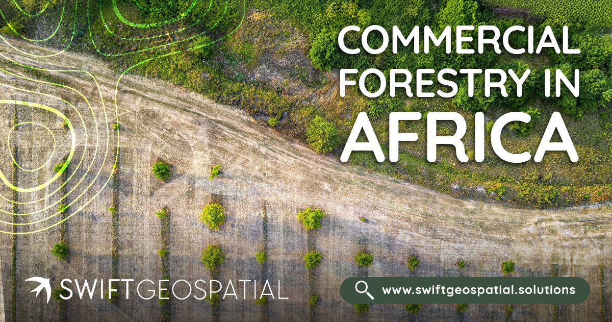
Africa’s commercial forestry sector supports rural livelihoods, drives exports, and promotes sustainable land use. With growing global demand for certified timber, effective monitoring is essential. Swift Geospatial provides satellite and GIS-based tools to help forestry managers track growth, assess forest health, and optimise operations, ensuring plantations remain productive, sustainable, and competitive.
 May 5th, 2025
We’re proud to share that Michael Breetzke is representing South Africa as part of the official delegation at the GEO Global Forum 2025 in Rome, and will be speaking during Thursday’s GEO-20 Plenary – Session 7: Strengthening Private Sector Engagement to Deliver on GEO’s Vision.
 April 10th, 2025
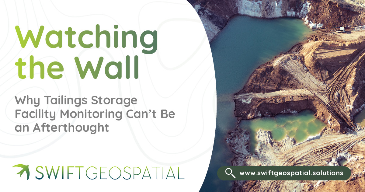
Tailings Storage Facilities (TSFs) are among the most critical, and potentially dangerous, structures in mining. With several major disasters in recent history, mine owners must prioritise TSF monitoring to protect lives, land, and operations. In this post, Swift Geospatial explores how satellite technology provides a smarter, safer, and more cost-effective alternative to traditional aerial flyovers, delivering early warnings and consistent data, no matter how remote the site.
 April 10th, 2025
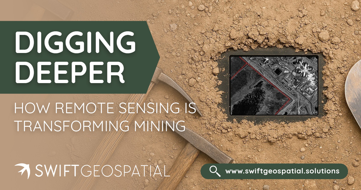
Remote sensing for mining has reshaped how mine owners manage exploration, safety, and sustainability. From detecting illegal mining activity to monitoring environmental compliance and pit expansion, satellite data and geospatial analysis offer unparalleled visibility, without ever setting foot on site. Learn how Swift Geospatial helps mining operations across Africa stay compliant, efficient, and ahead of the curve.
 March 12th, 2025
Understanding spectral bands like NIR, SWIR, and RGB is essential for making the most of satellite imagery. While RGB provides true-color visuals, NIR is crucial for vegetation analysis, and SWIR helps with mineral mapping and wildfire monitoring. Learn how these bands work together to offer deeper insights into Earth's surface and environmental changes.
 March 3rd, 2025
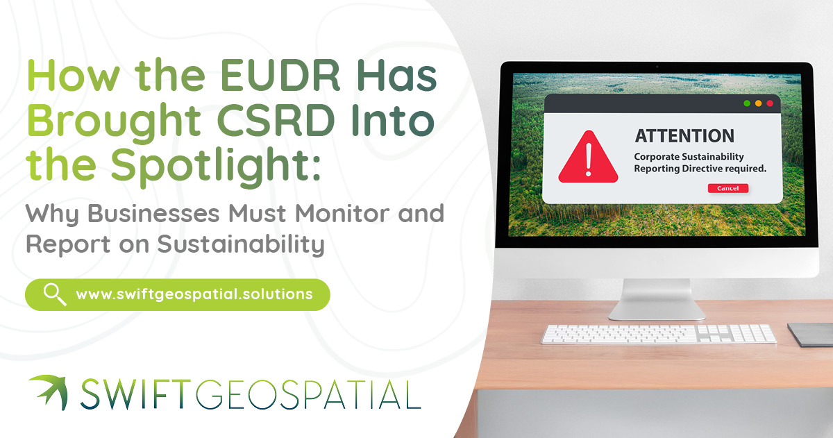
The EUDR has put CSRD in focus, making sustainability reporting essential. Learn why businesses must monitor, report, and comply with evolving ESG regulations.
 February 26th, 2025
Let’s take a decade-by-decade walk into the history books and discover the evolution of GIS and the critical role of aerial photography in its growth into a vital element of today's technological driven society.
 February 11th, 2025
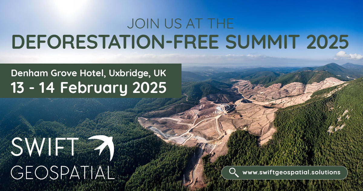
Swift Geospatial is attending the Deforestation-Free Summit 2025 on February 13–14 in Uxbridge, UK, where Michael Breetzke will present a case study on a successful deforestation monitoring project. Learn how GIS and satellite imagery support EUDR compliance and proactive deforestation risk management. Visit our booth to explore how our cutting-edge monitoring solutions enhance supply chain due diligence and sustainability efforts.