
Our Customised Earth Monitoring Solutions
Raw data rarely tells the full story, it needs context, clarity, and structure. By combining high-quality satellite imagery with GIS analysis, businesses gain sharper insights that lead to smarter decisions, tighter cost control, and more effective resource management.
Our Customised Earth Monitoring Solutions
Raw data rarely tells the full story, it needs context, clarity, and structure. By combining high-quality satellite imagery with GIS analysis, businesses gain sharper insights that lead to smarter decisions, tighter cost control, and more effective resource management.
Satellite Monitoring and GIS Solutions for Advanced Earth Observation
Across forestry, mining, and agriculture, the demand for accurate, timely, and spatially rich data has never been higher. Satellite monitoring, powered by earth observation technologies and Geographic Information Systems (GIS), is reshaping how organisations understand, manage, and respond to changes across large and often remote landscapes.
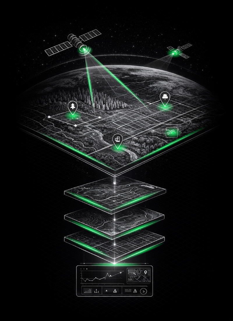

Data-driven insight makes the invisible, actionable.
By combining high-resolution satellite imagery, remote sensing data, and GIS mapping platforms, businesses gain continuous visibility over their assets. This includes land use change detection, vegetation health monitoring, environmental impact assessments, and infrastructure tracking. Rather than relying on periodic field surveys alone, organisations can now access near real-time geospatial data that supports faster, more informed decision-making.
Earth Observation For Informed Decision Making
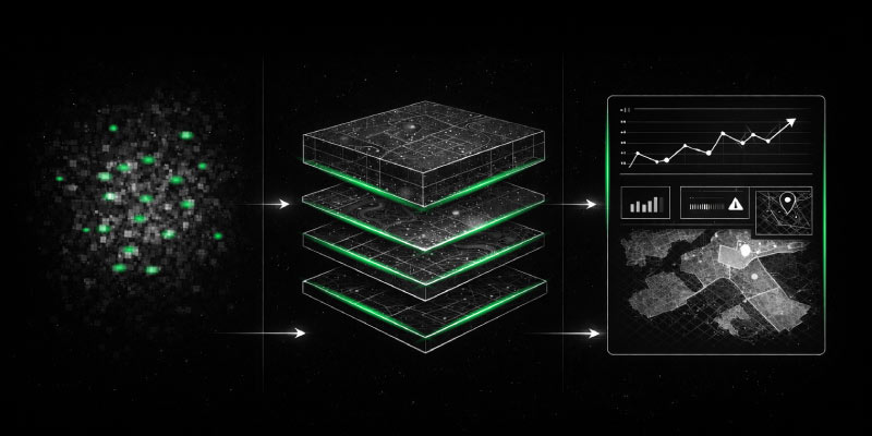
GIS and earth observation systems work together to transform raw satellite data into structured, actionable insights. Through spatial analysis, data layering, and temporal monitoring, users can identify patterns, detect anomalies, and measure change over time with a high degree of accuracy. Whether it is monitoring crop performance, tracking mining activities, or assessing forest cover, these tools provide a consistent and scalable approach to land management.
In industries where precision and timing directly affect profitability and compliance, satellite monitoring solutions reduce uncertainty. They improve operational efficiency, support risk mitigation strategies, and enable proactive management of resources. As data becomes more central to business performance, GIS and earth observation technologies continue to play a critical role in delivering clarity, consistency, and control across complex environments.


