One Mine, Many Moving Parts: How Integrated Monitoring Strengthens Mine Management
Discover how recurring satellite imagery, automated change detection and GIS analysis can give mining teams a connected view of site changes, emerging concerns and long-term operational conditions.
Categories:
Date Posted:
September 2, 2026
From Fragmented Data to Clearer Decisions: Simplifying Mine Monitoring with SWIFTMine
A modern mine is not one contained operation, but an evolving network of pits or shafts, processing areas, roads, buildings, stockpiles, tailings storage facilities, environmental buffers and rehabilitation projects.
These components don’t remain static. Excavation areas expand, infrastructure develops, tailings facilities change, vegetation is disturbed or restored and settlements around mine boundaries grow. Closed mines retain long-term environmental and rehabilitation responsibilities, while prospective mines need reliable baseline information before development begins.
The risks are equally varied.
The South African Department of Mineral and Petroleum Resources identifies falls of ground, rock bursts, transport incidents and general mining accidents among the causes of mining fatalities and injuries. Other established concerns include equipment failure, chemical exposure, fire, environmental disturbance and unsafe interactions between people and heavy machinery.
Not all these risks can, or should, be managed through the same system. Chemical exposure requires appropriate controls, monitoring and personal protective equipment. Ground instability requires geotechnical expertise. Equipment failure requires engineering and maintenance systems. Worker safety depends on training, effective procedures, competent supervision and a strong safety culture.
The challenge for mine managers is maintaining an adequately robust view of these many moving parts, particularly when the information needed to understand them comes from different places.

More information doesn’t automatically provide better oversight
Mining has developed numerous processes and technologies to identify and control risk. These include field inspections, engineering assessments, environmental sampling, sensors, aerial surveys, risk registers, mine-planning software, compliance reports and OHS procedures.
Each has a necessary role but their outputs may be collected at different times, stored in different formats and interpreted by different departments or specialists.
A field inspection records what was observed in a particular area on a particular day. A risk register documents recognised hazards and the controls intended to address them. A sensor measures a defined condition at a specific location. A satellite image captures the visible surface of the site at the time it passes overhead.
Viewed separately, each provides valuable information. Together, they can provide a more robust understanding of the operation, but only when teams can see how the information relates.
When information remains fragmented, managers and technical teams must spend time assembling reports, comparing datasets and establishing whether an observed change is expected. By the time a developing concern appears in a monthly report or is noticed during the next scheduled inspection, the cost and complexity of addressing it may already have increased.
The problem is not necessarily a shortage of data. It’s the delay between collecting that data, recognising what it means and rallying the appropriate people to respond.
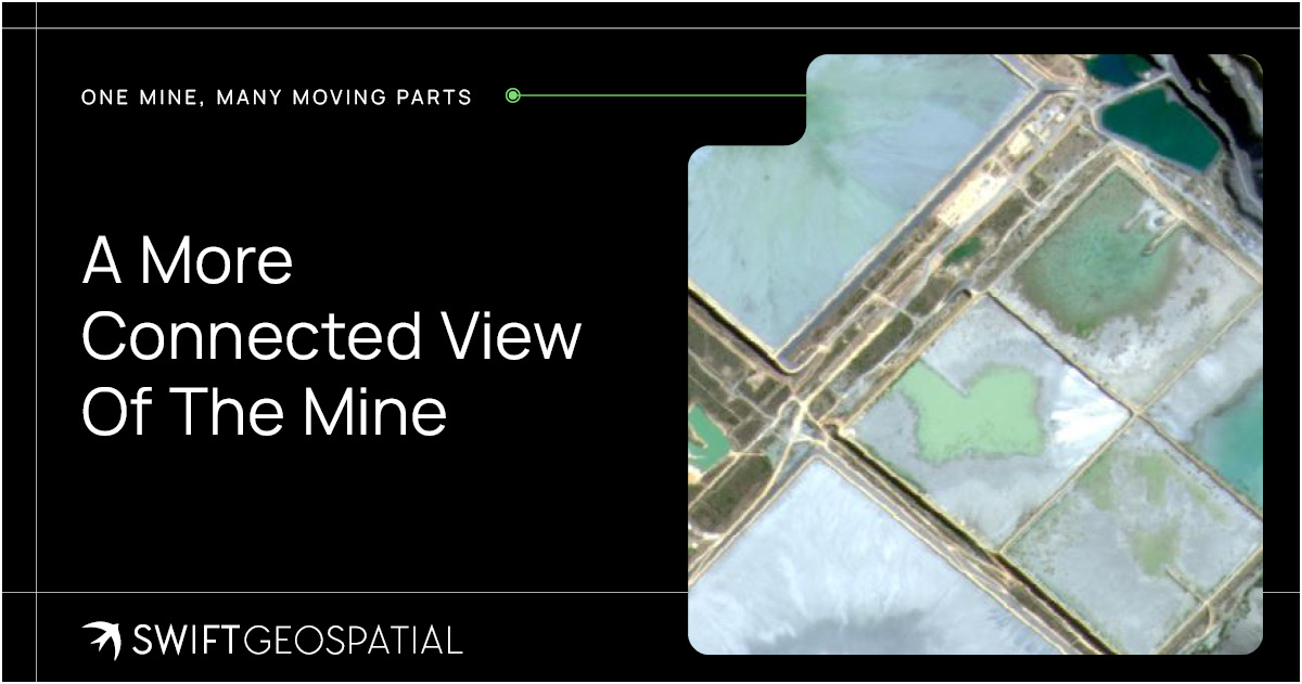
A more connected view of the mine
The movement towards more connected, technology-enabled mining is not a speculative vision of the industry’s future. It is already shaping investment, operating models and industry conversations.
When mining companies, governments, investors and technology providers gather in Cape Town for Mining Indaba 2027, disruptive technology will once again be a dedicated area of focus.
The event’s Disruptive Technologies pillar explores how automation, artificial intelligence and emerging technologies are being used to improve efficiency, sustainability, safety and profitability while creating more resilient mining operations.
The significance lies in how these technologies are applied. Mines don’t necessarily need another isolated stream of information. They need practical ways to connect information, observe change and convert complex data into evidence that people can interpret and act on.
Satellite imagery, remote sensing, automated analysis and GIS are becoming increasingly valuable in this environment. They allow extensive and remote sites to be observed consistently, creating a layer of spatial evidence that can supplement what teams know from inspections, engineering assessments and operational experience.
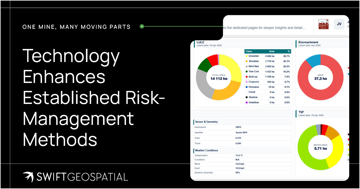
Technology enhances established risk-management methods
Established risk-management methods remain essential to mining safety and operational planning.
Failure Mode and Effects Analysis (FMEA), for example, provides a structured method for identifying how equipment, processes or systems could fail, helping mine teams anticipate what could go wrong. But, like other risk-assessment methods, it depends on the quality and currency of the evidence informing it. People must identify possible failures, assign the relevant ratings, document controls and review the assessment as operating conditions change.
Digital monitoring performs a different but complementary role. Rather than replacing a risk assessment, it can provide evidence of what is visibly changing across the site and whether those changes warrant further investigation.
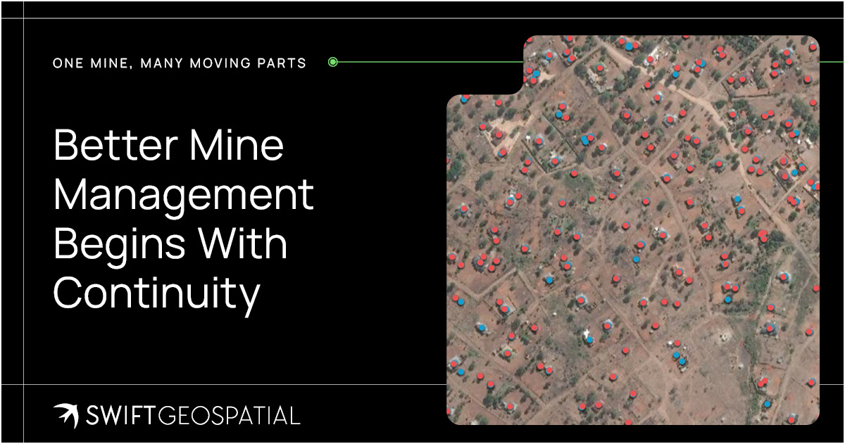
An unexpected expansion near a mine boundary can prompt an encroachment assessment. A change around a tailings storage facility may require engineering review or field verification. New infrastructure can be compared with approved plans, while changes in vegetation can help teams examine whether rehabilitation is progressing as intended.
Risk methodologies help mines understand what could go wrong, but recurring monitoring helps them recognise when relevant site conditions may be changing.
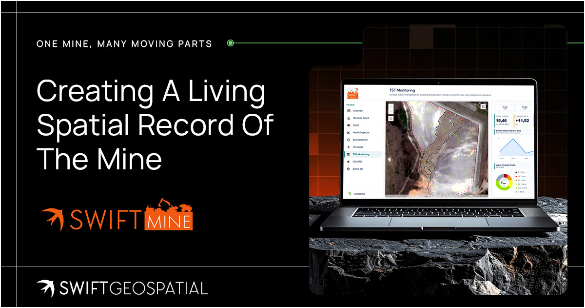
Better mine management begins with continuity
Mining operations won’t become less complex as environmental obligations, community expectations and regulatory requirements continue to develop. And adding more disconnected systems won’t necessarily make that complexity easier to manage.
The opportunity lies in creating continuity between observations.
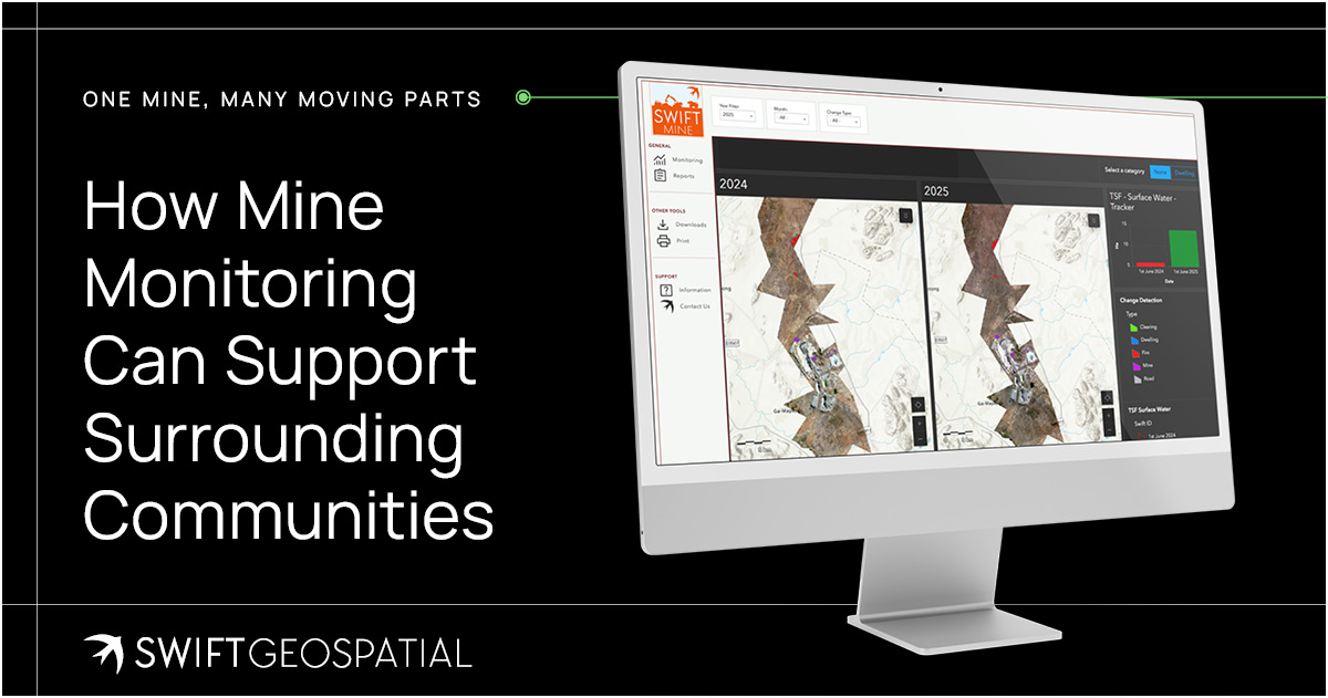
SWIFTMine turns recurring satellite imagery, GIS analysis and integrated operational data into a living record of the observable mine-site conditions it monitors. It allows managers to compare the present with the past, identify where change is occurring and retain evidence that can inform the next inspection, assessment, report or operational decision.
The platform doesn’t replace human judgement, established risk methodologies or specialist investigation, but gives them a more current and accessible evidence base.
As the mining industry prepares to examine the next generation of disruptive technologies at Mining Indaba 2027, this practical application matters. The value of technology doesn’t lie in its novelty, but in its ability to help mines observe their operations more consistently, direct resources more intelligently and act on emerging concerns sooner.
For mining stakeholders responsible for active, closed, prospective or government-owned sites, SWIFTMine offers a way to bring relevant monitoring information into one evolving operational view.