Forest management software with satellite data for smarter forestry decisions
SWIFTForest is forest management software with satellite data that helps forestry teams move from periodic site inspections to continuous, evidence-based monitoring. Designed for commercial forestry, natural forest protection, and land management stakeholders, the platform brings satellite imagery, change detection, risk monitoring, compliance support, and dashboard-based insights into one practical system. It enables teams to identify deforestation, degradation, fire risk, land disturbance, and operational changes earlier, giving decision-makers the information they need to manage forests more effectively, respond with confidence, and support smarter long-term forestry planning.
Categories:
Date Posted:
July 9, 2026
Forest management software with satellite data for smarter decisions
Forestry has always been a waiting game. Trees grow over years, sometimes decades, and every decision made today can shape future yield, environmental performance, compliance, risk, and profitability. That sounds simple right? Not quite. Forests, and forestry as an industry, branch off into a multitude of daily, weekly and monthly challenges. They stretch across remote land, difficult terrain, mixed ownership areas, protected zones, commercial compartments, and regions where conditions can change quickly.
A terrible storm may cause irreparable damage to a forest plantation overnight. Fires can generate risk before ground teams are even aware of it. Illegal logging and forest clearing can begin quietly at the edge of a natural forest – with management totally unaware of what is happening. Pest pressure, canopy stress, harvesting activity, encroachment, and land-use change rarely arrive with a polite calendar invite.
Forestry is an incredibly demanding industry, shaped by long timelines, shifting weather, operational risk, and constant environmental pressure, but when managed correctly, it becomes one of the most rewarding forms of land stewardship, creating value today while protecting resources for generations to come.
That’s where SWIFTForest earth monitoring solution comes into play.
SWIFTForest is Swift Geospatial’s dedicated forestry monitoring platform, built to support both commercial forestry operations and natural forest environments. It combines satellite imagery, GIS analytics, remote sensing, change detection, and monitoring dashboards to give forestry managers, conservation teams, landowners, and decision-makers a clearer view of what is happening on the ground.
Not just as a once snapshot. Rather a continuously active monitoring solution that provides forest management the ability to see what previously they were unable to see.

Forestry Needs More Than Field Visits Alone
Field inspections still matter. Nobody is suggesting that boots on the ground should disappear from the operation of running a successful plantation or forest. In fact, good forestry teams know the smell of wet soil, the pattern of growth after rain, and the difference between a healthy stand and one that just feels slightly off. That knowledge and experience is invaluable.
Field teams can’t be everywhere at once and with modern technology we are able to equip those in the know with the tools to make even more informed decisions.
Large forestry estates, conservation areas, remote natural forests, and fragmented land parcels are difficult to monitor manually. Even the most experienced team can miss early warning signs if those signs appear outside planned inspection routes. By the time a problem is visible from the road, it may already have become more expensive, more complex, or more politically sensitive.
SWIFTForest helps close that visibility gap. By using recurring satellite imagery and geospatial analysis, the platform gives organisations a broader and more consistent way to monitor forest conditions. It allows teams to see patterns, identify change, compare historical and current data, and focus attention where it is needed most.
SWIFTForest was designed and developed to help people stop guessing.
What Is SWIFTForest?
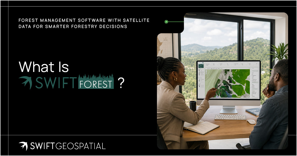
SWIFTForest is a remote sensing forestry monitoring GIS platform designed to turn satellite imagery and spatial data into practical management intelligence. Instead of treating imagery as a static picture, the platform uses it as part of an ongoing monitoring system to provide decision makers with the information they need to succeed.
Registered users view monitored areas, assess forest condition, track change over time, and identify issues such as degradation, deforestation, disturbance, canopy decline, land clearing, harvesting activity, and environmental stress. For commercial forestry, this can support operational planning, plantation monitoring, site-level decision-making, and long-term asset management. For natural forest environments, it supports conservation, compliance, ecosystem protection, and environmental reporting.
The real value sits in the combination. Satellite imagery gives broad coverage. GIS gives structure. Change detection gives timing. Dashboards give decision-makers a way to understand it all without getting buried under technical layers.
That’s the quiet power of SWIFTForest. It makes complex spatial data easier to use.

Powered by Leading Satellite Data Providers
A forestry monitoring platform is only as strong as the data behind it. Swift Geospatial sources high-quality satellite imagery from leading satellite data providers, including Planet and Vantor.
Planet’s frequent earth observation imagery supports recurring monitoring across large forestry areas, making it valuable for tracking change over time, identifying developing risk, and maintaining regular visibility across commercial and natural forest landscapes. Vantor’s very high-resolution satellite capabilities can support more detailed visual intelligence where closer inspection is required, especially for areas where fine spatial detail can make a meaningful difference.
Together, these satellite data sources help strengthen the monitoring foundation behind SWIFTForest. This imagery allows the Swift Geospatial GIS team to match the right imagery to the right forestry challenge, whether the need is broad, recurring landscape monitoring or more detailed assessment of specific sites. SWIFTForest is designed to give you the insight you need to thrive.
For forestry teams, this matters. Better imagery means better visualization. Improved visualization means better insights. Better insights lead to more informed decisions.


Why Change Detection Matters
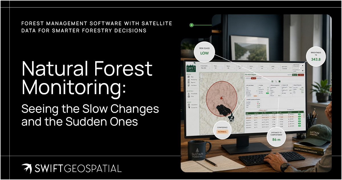
Change detection has become one of the most important facets of modern forest monitoring. It works by comparing imagery from different dates to identify where the landscape has changed. Those changes can then be reviewed, classified, prioritised, and used to guide action.
Think of it as a visual time lapse of your chosen area of interest.
Instead of asking, “What does this forest look like now?” SWIFTForest helps ask better questions: What changed? Where did it change? When did it change? How serious is it? Does it match expected activity, or does it need investigation?
That shift is important. Forestry teams do not only need imagery. They need interpretation. They need to understand whether a change is planned harvesting, storm damage, land clearing, fire impact, canopy stress, or possible illegal activity. They need to know which areas deserve immediate attention and which changes are part of normal operations.
By turning visual change into spatial insight, SWIFTForest helps users prioritise action. It supports faster response, better reporting, and more confident decision-making.
A Platform Built for Practical Forestry Decisions
A worthwhile forestry monitoring platform cannot be a beautiful map that nobody is using. It has to built to fit into the way forestry teams, environmental managers, executives, GIS specialists, and field crews actually work.
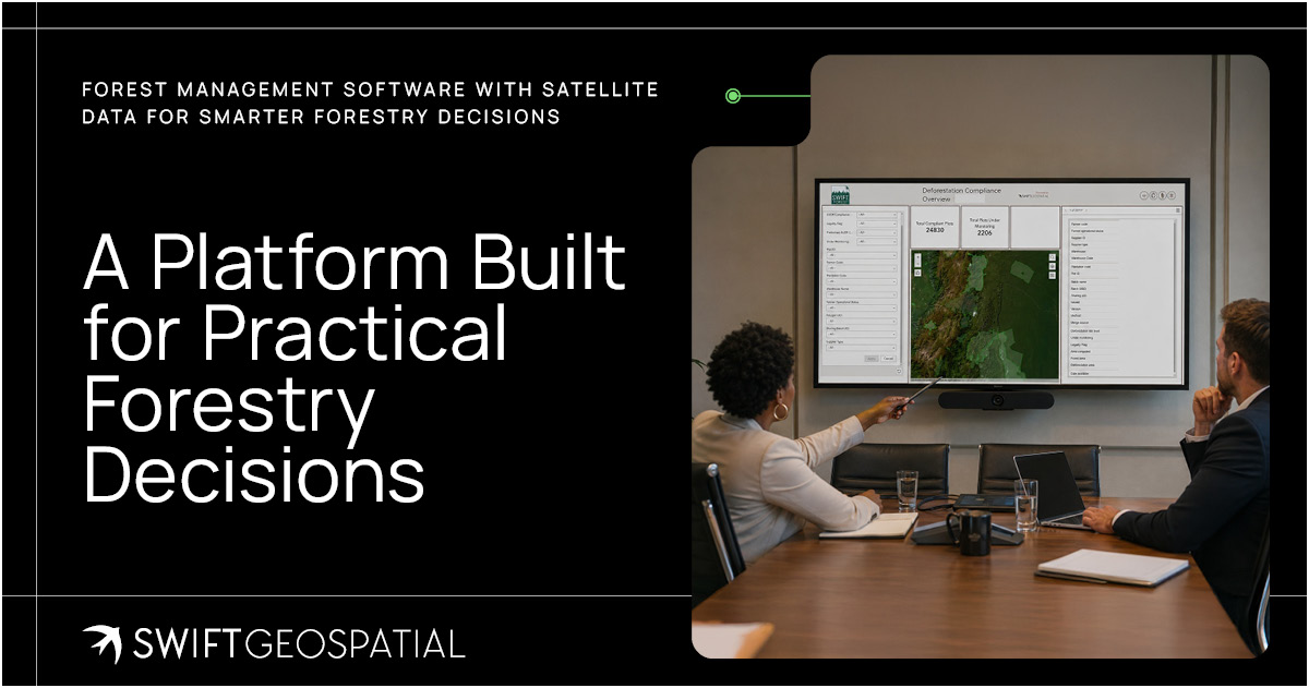
SWIFTForest is designed around practical forestry monitoring needs. Dedicated users can view areas of interest, monitor specific sites or grouped areas, review analytical insights, and use the latest spatial data to understand conditions across their forestry assets or conservation landscapes.
For GIS specialists, the value is in the quality and structure of the spatial workflows. For engineers and operational managers, it is in the ability to identify risk, coordinate teams, and support planning. For business owners and executives, it is in better oversight and stronger evidence for decisions. For accountants, insurers, and financial managers, it can support asset visibility, risk documentation, and more reliable reporting.
That mix matters because forestry is not managed by one department alone. It sits at the intersection of operations, finance, sustainability, compliance, land management, and environmental responsibility.
SWIFTForest gives those teams a shared spatial picture.
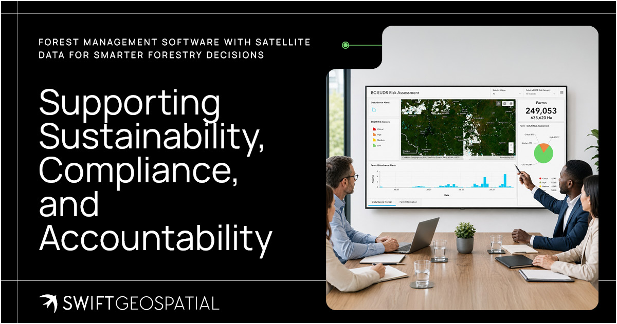
Supporting Sustainability, Compliance, and Accountability
Forestry is under growing pressure to prove responsible management. Markets want sustainable timber. Regulators want evidence. Investors want risk visibility. Communities want accountability. Environmental frameworks increasingly require organisations to show not only what they claim, but what the land record supports.
SWIFTForest assists companies in creating that record.
By monitoring forest cover, disturbance, degradation, and land-use change over time, organisations can build a clearer evidence base for sustainability reporting and compliance requirements. This is especially important where forestry activity connects to deforestation risk, conservation commitments, supply chain transparency, carbon considerations, or environmental impact assessments.
The platform shows value in reducing the lag between an event and a response. That lag is often where organisations find their risk grows. If a clearing event, wildfire scar, illegal access route, or stressed area is only discovered weeks later, the organisation may already be on the back foot. With scheduled and maintained monitoring services, teams have an improved ability of spotting issues earlier and responding with clear information and increased confidence.
In forestry, timing is not a small detail, often it is the difference between a manageable issue and a costly one.
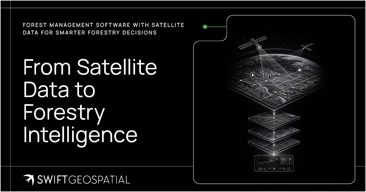
From Satellite Data to Forestry Intelligence
Moderns satellite imagery on its own can be impressive, with incredible advancements in clarity and frequency, but raw imagery does not automatically answer business or environmental questions. It still has to be processed, analysed, compared, and presented in a way that supports decisions.
That is where Swift Geospatial’s broader experience in remote sensing, GIS, machine learning, and AI becomes important. Across the world, AI is being integrated into industries that rely on large volumes of data, from finance and agriculture to logistics, insurance, mining, and environmental management. Forestry is no different. The challenge is not a lack of data. The challenge is turning that data into useful insight quickly enough for teams to act.
SWIFTForest is not just about looking at high definition pictures of pretty forests from above. It is about using geospatial (GIS) remote sensing technology, supported by machine learning and AI-driven analysis, to create a repeatable monitoring process that helps users understand change across time and space. These modern technologies aid and improve product efficiency by helping identify patterns, flag possible areas of concern, support faster analysis, and reduce the time spent manually reviewing large volumes of imagery.
Creating a forestry monitoring platform that combines satellite imagery, remote sensing data, GIS-based monitoring tools, change detection analysis, forest condition insights, commercial and natural forest monitoring workflows, and dashboards that have a built in generation tool to support review, reporting, and action.
Used properly, this kind of system becomes part of the organisation’s decision rhythm. It helps teams plan better, respond faster, report more clearly, and manage forests with a fuller understanding of what is happening beyond the office wall.
This article introduces SWIFTForest as the broader forestry monitoring platform. In upcoming posts, we will take a closer look at the two specialist product areas within SWIFTForest: Commercial Forestry Monitoring and Natural Forest Monitoring. Each one serves a different need, but both are built on the same principle: better spatial intelligence leads to better forest management decisions.
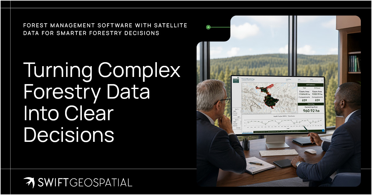
Turning Complex Forestry Data Into Clear Decisions
Dashboard views are where forestry data becomes usable for the people who need to act on it. Satellite imagery, change detection, GIS layers, AI-assisted analysis, field notes, risk alerts, and historical comparisons can quickly become overwhelming if they sit in separate systems. A well-designed dashboard brings that information into one clear, manageable view, helping stakeholders see what matters first: where change is happening, how severe it may be, which areas need attention, and what action should follow. For C-suite leaders, this is especially important.
Executives do not need to scroll through every raw image or technical layer. They need trusted, well-structured intelligence that supports faster decisions, clearer reporting, and better risk management. In forestry, that turns the dashboard into more than a visual tool. It becomes a practical decision cockpit, giving operational teams, finance teams, sustainability managers, insurers, and executives a shared view of the forest, the risk, and the next sensible move.
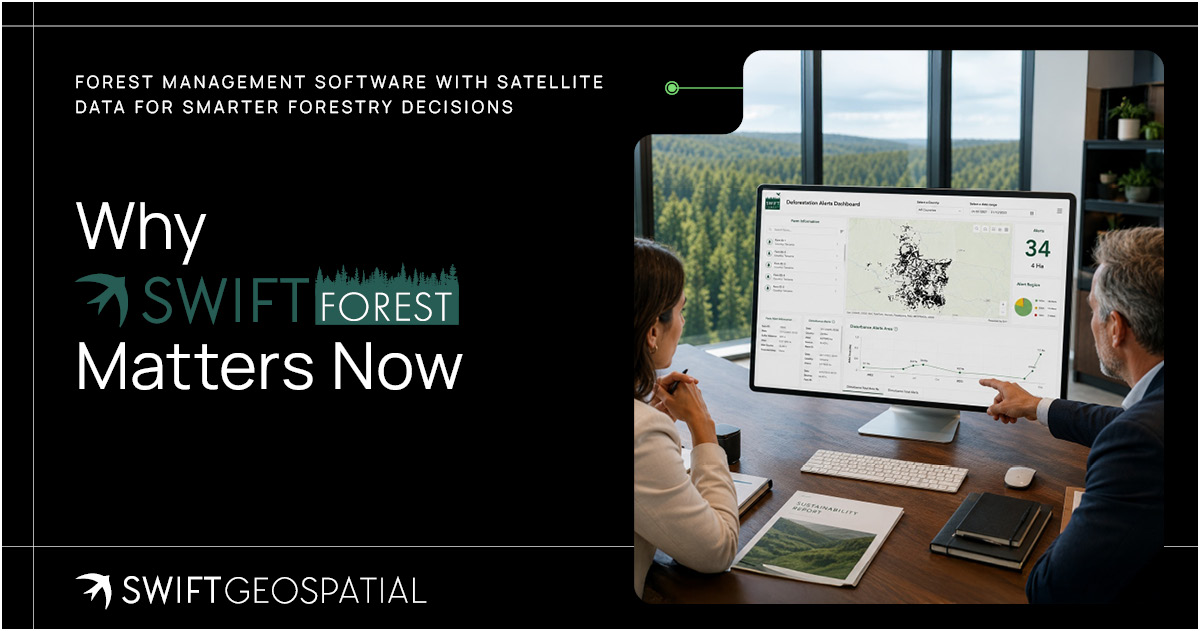
Why SWIFTForest Matters Now
Forestry is facing pressure from almost every direction. Deforestation remains one of the most urgent environmental concerns worldwide, while forest degradation, illegal clearing, wildfire damage, pest outbreaks, drought stress, canopy decline, and land-use change continue to affect both commercial and natural forest landscapes.
At the same time, forestry is no longer judged only by what happens in the field. It is increasingly judged by the quality of the evidence behind every decision. Regulators, investors, insurers, customers, environmental bodies, and supply chain partners all want clearer proof that forests are being managed responsibly, risks are being monitored, and changes on the land are being properly understood.
This is especially relevant with regulations such as the European Union Deforestation Regulation, known as EUDR. Businesses connected to timber, wood products, rubber, cocoa, coffee, cattle, palm oil, soy, and other forest-risk commodities are being pushed to show stronger evidence around product origin, land-use history, deforestation risk, and forest degradation. Paperwork alone is no longer enough. Forestry needs a reliable spatial record that can show what changed, where it changed, and when it changed.
That is what makes forestry such an ideal candidate for modern satellite-based monitoring. The areas are often large, remote, difficult to access, and exposed to risks that can develop quickly or quietly over time. A clearing event may begin along the edge of a property. A fire scar may appear after a high-risk weather period. Canopy stress may build slowly before it affects yield. An illegal access road may cut into a sensitive area before it appears in a field report. These are not small details. They are early signals, and early signals matter.
SWIFTForest gives forestry stakeholders a more consistent way to monitor land, detect change, and respond with useful intelligence rather than delayed assumptions. By bringing together satellite imagery, GIS analysis, change detection, machine learning support, AI-assisted workflows, and practical dashboards, the platform helps forestry management become more informed, more responsive, and better supported by evidence.
This does not mean every decision becomes easy. Forestry will always involve uncertainty. Weather shifts, market demands, regulatory pressure, operational constraints, and natural systems all have their own moving parts. But better visibility gives teams a stronger starting point, especially when they need to support compliance, protect assets, manage environmental risk, report on sustainability, or respond to change across large and complex landscapes.
In forestry, a stronger starting point can shape years of better outcomes.